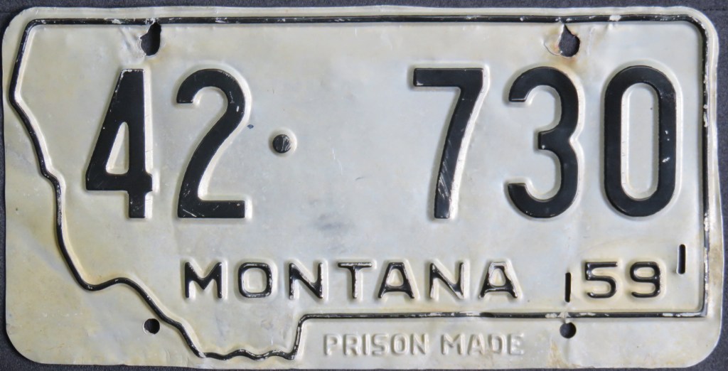
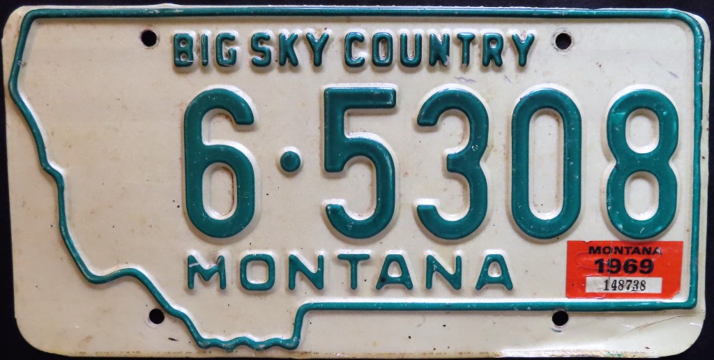
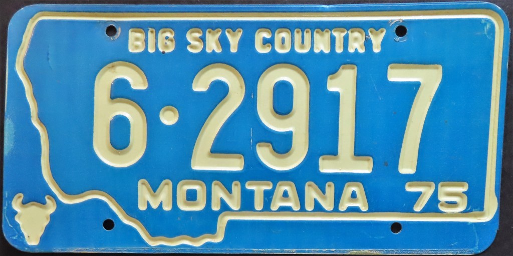
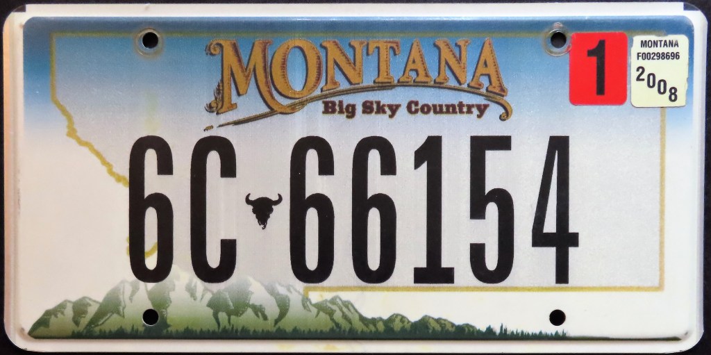
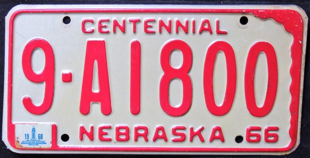
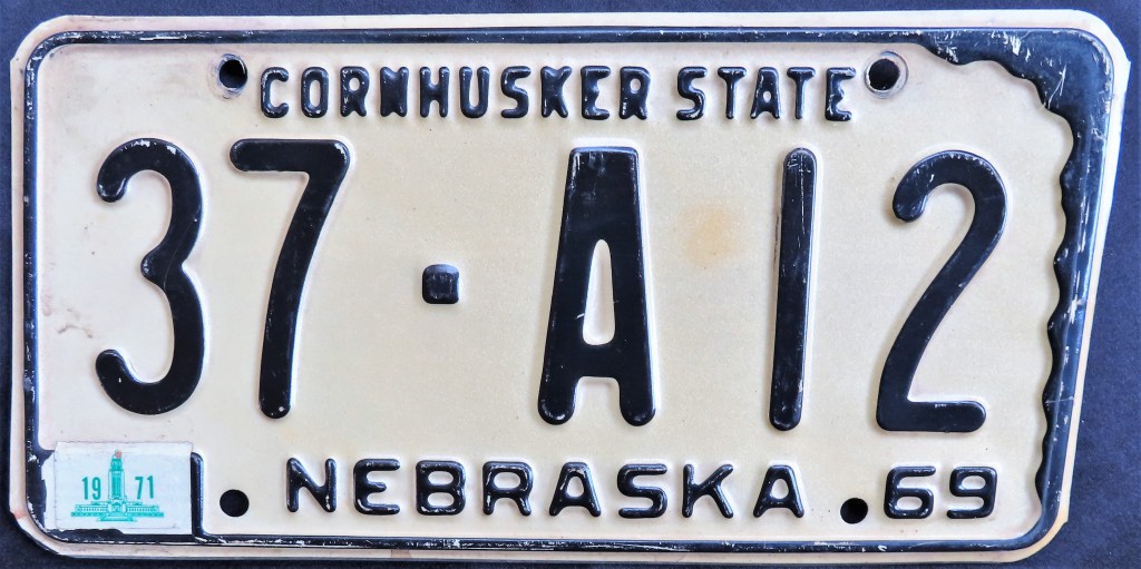
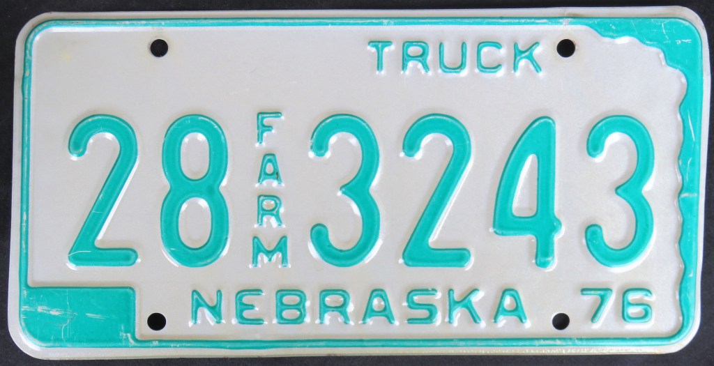
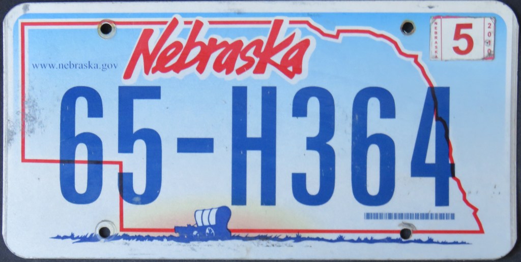
Kansas‘s 1951 base plate was actually cut out in the northeast corner to match the state shape. The same practice followed in 1954 and 1955; in 1956 in conjunction with federal standards the cut out portion was restored but the state retained the map and did so on every plate through the 1980. Montana is the king of the Whole Plate map, having instituted it on every plate since 1933 with the exception of the 1957-58 tags. Nebraska kicked off its Centennial with a base plate exhibiting the full state map; it was repeated on the 1969 and 1972 bases. In 1976, non-passenger plates only retained it. In 2005, a new base plate had a state outline. Pennsylvania employed the Whole Plate map in 1937 and continued it, unbroken, until 1970.
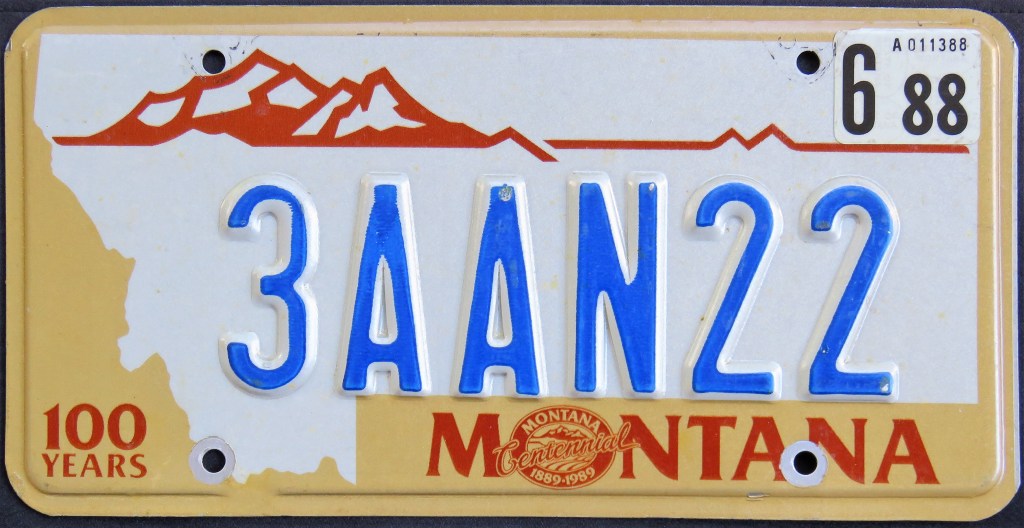
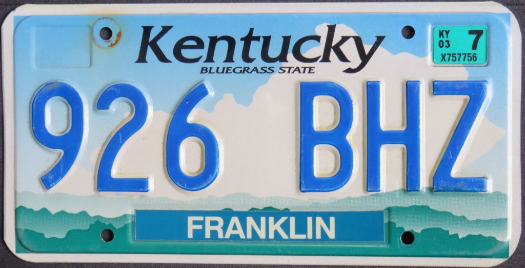
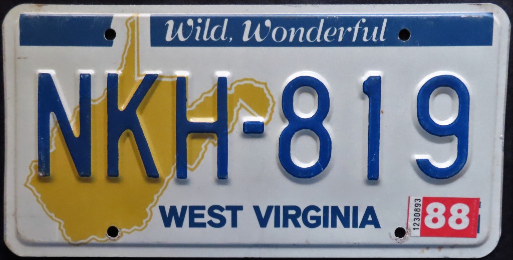
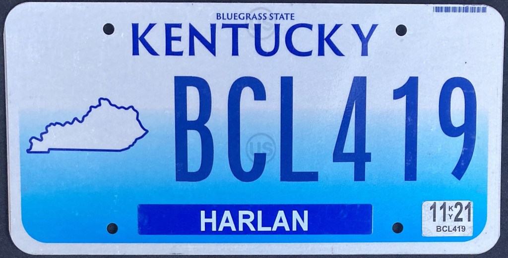
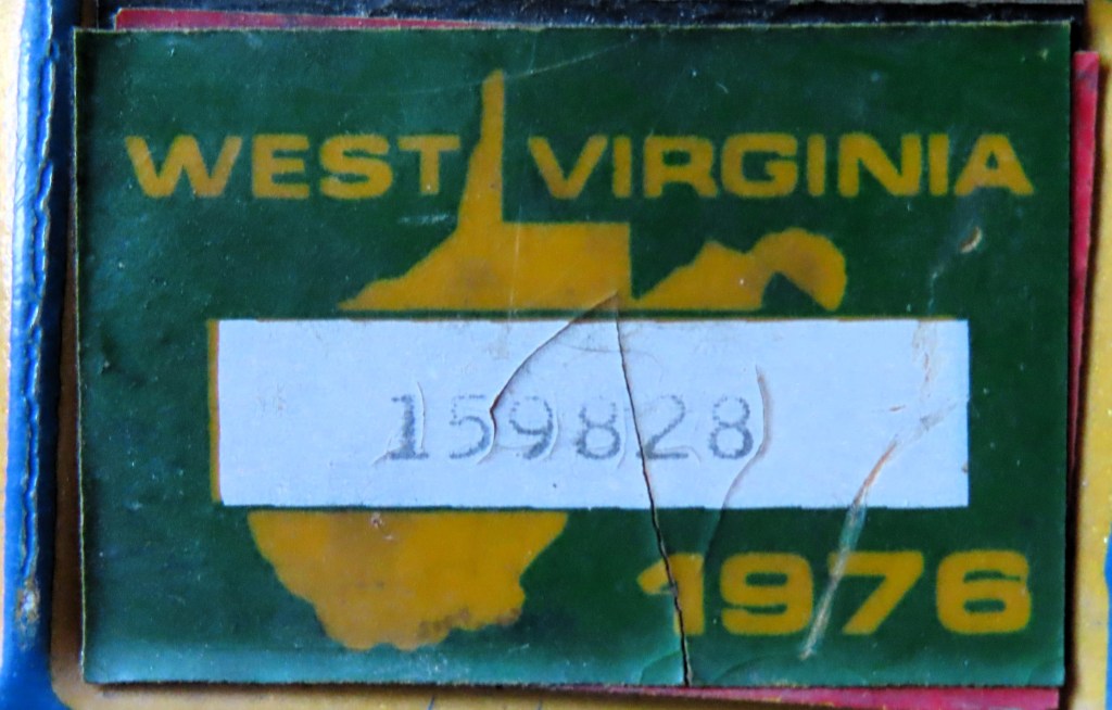
State maps take up a good portion on these plates. Indiana had large yellow map on the 1978 plate; Kentucky has used a large state shape multiple times, including the 1998 standard base, and several specialties; Montana shrunk the usual Whole Plate map for the Lewis & Clark Bicentennial and the Cowboy Hall of Fame specialties; South Carolina placed a large light blue map on the 1981 base; Virginia depicted a road running through a state map for the “Drive Smart” specialty; West Virginia used a large map on the 1976 base, then modified it as the light blue outline made the serial a little difficult to read.
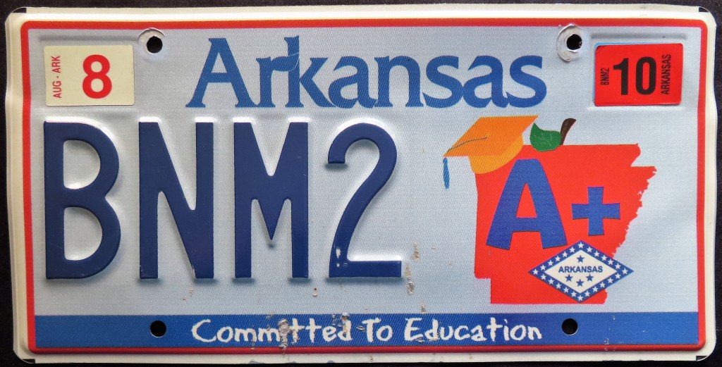
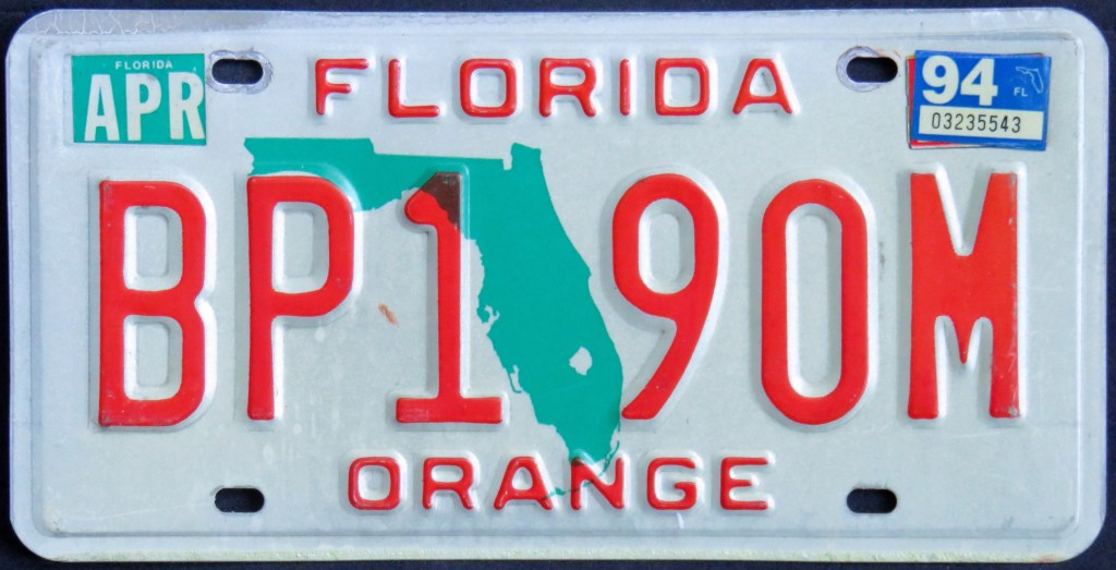
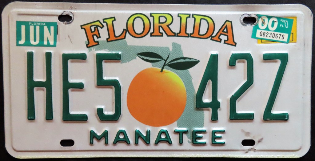
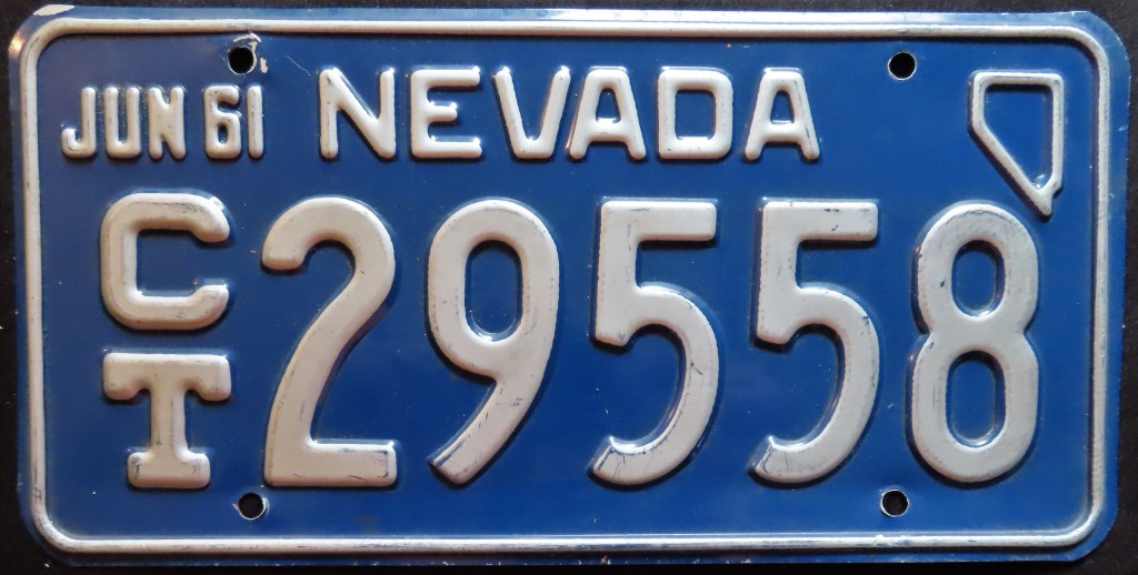
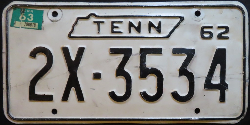
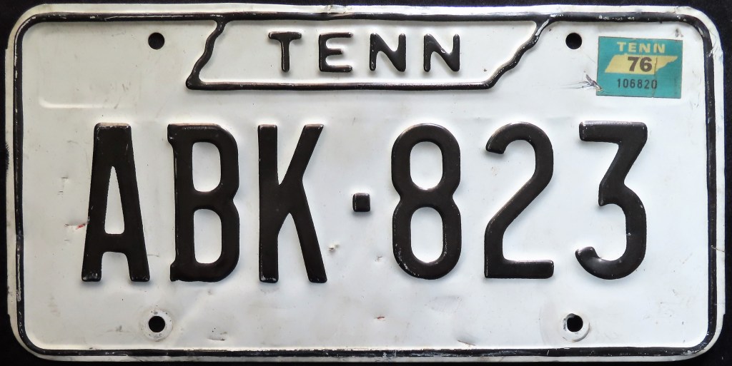
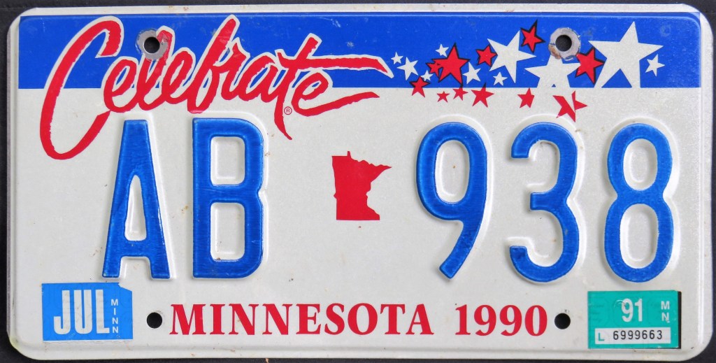
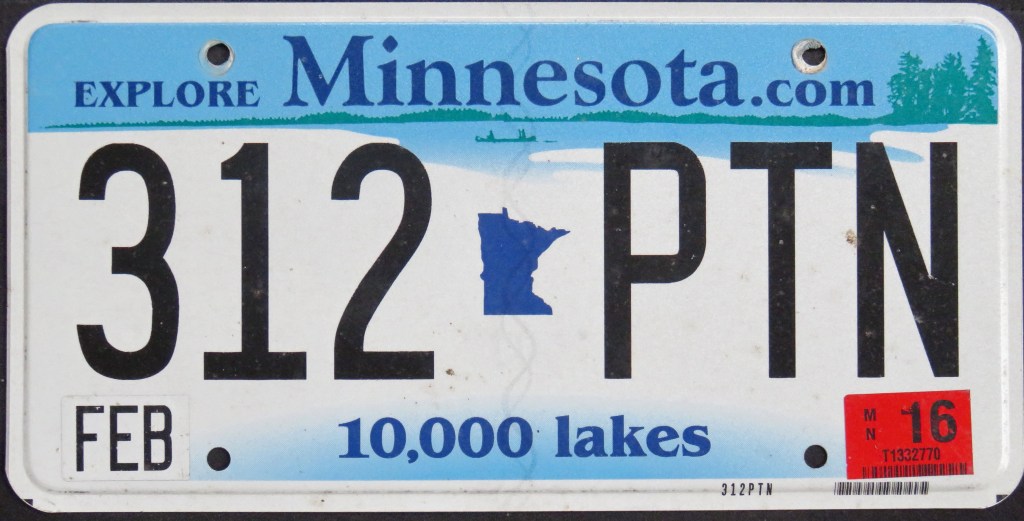
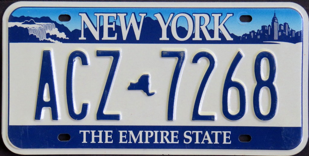
Small maps have been used in some creative ways, such as to house a variety of elements (Arkansas), be part of the state name (Delaware, Ohio), frame a pelican (Louisiana) or pink ribbon (Maine), and to bolster commemorative issues like with Indiana, Minnesota, and Oregon plates above. Connecticut, Nevada, and Pennsylvania have all used it in corners. Tennessee‘s state shape makes it ideal for containing the state name or slogan, though for the 2001 base it lit up the background instead. Florida has used a map as part background, part separator. Georgia tucks a small map inside its famous fruit, a peach, on a couple of bases.
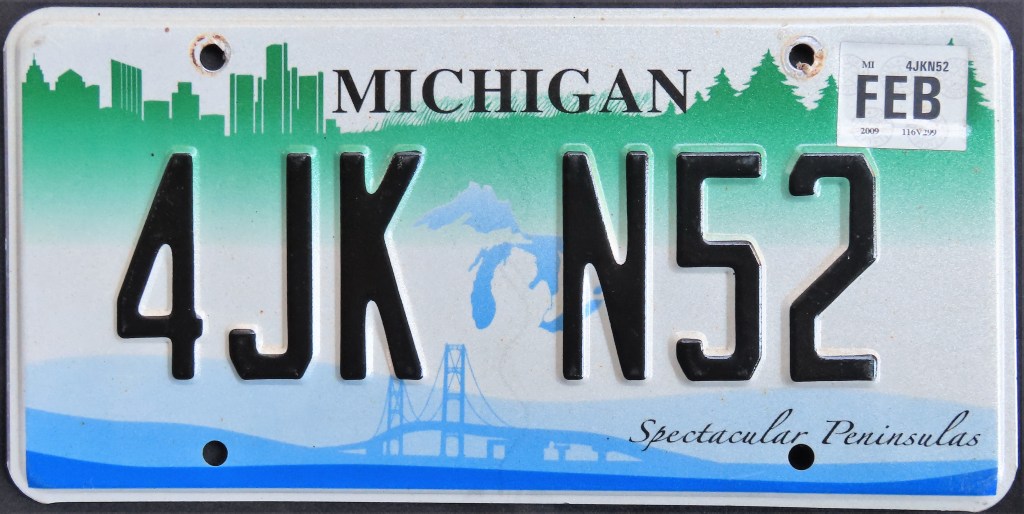
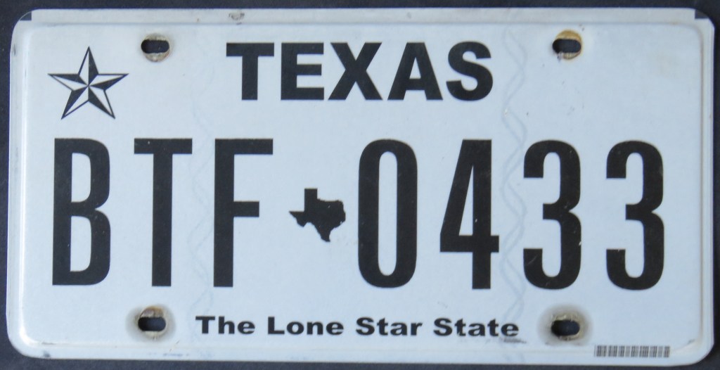
Small state maps make ideal separators (separators distinguish between two sets of characters, usually an equal number). Creative examples above include Michigan’s Mackinac Bridge, Oklahoma’s usage in a specialty commemorating victims of the Oklahoma City Bombing, and Texas making a dual state map-state flag.
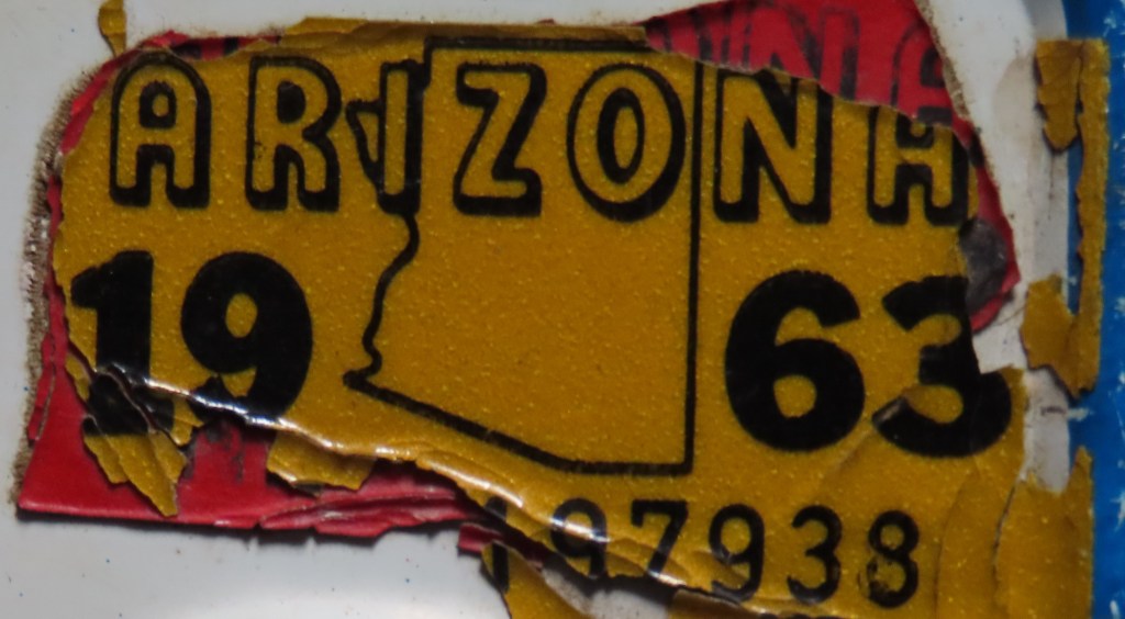
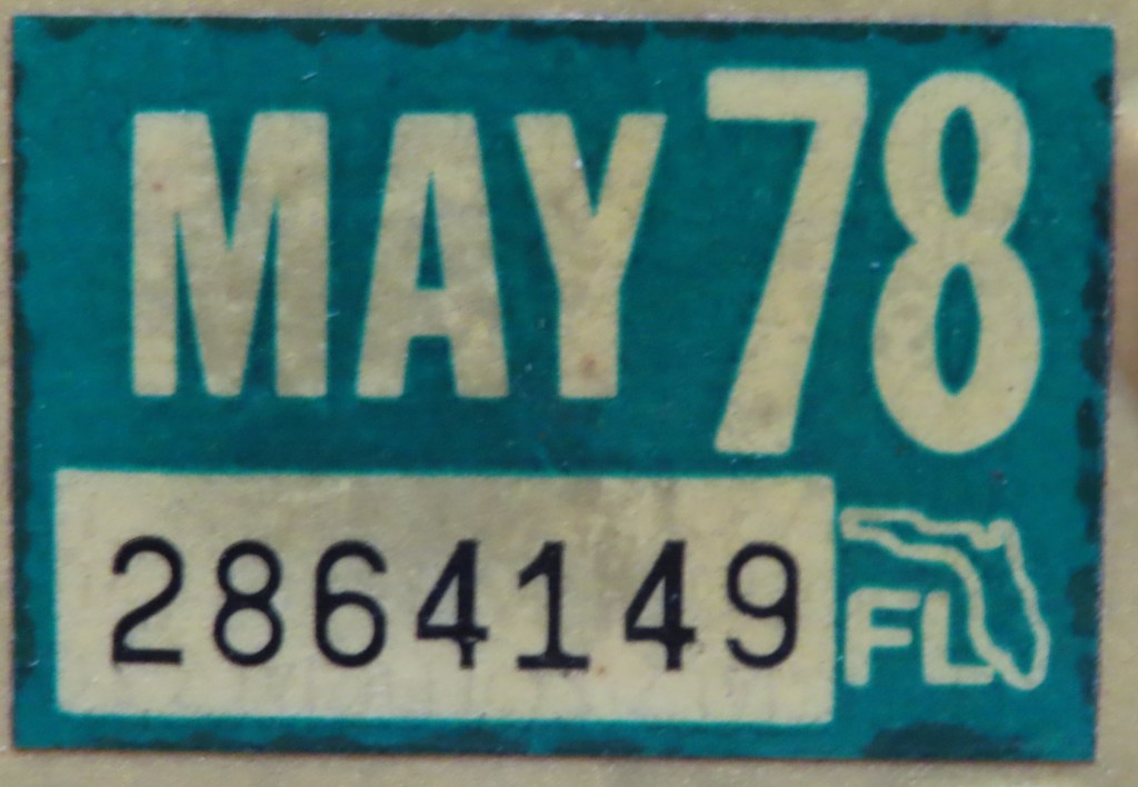
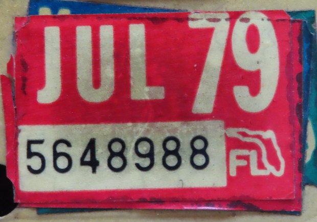
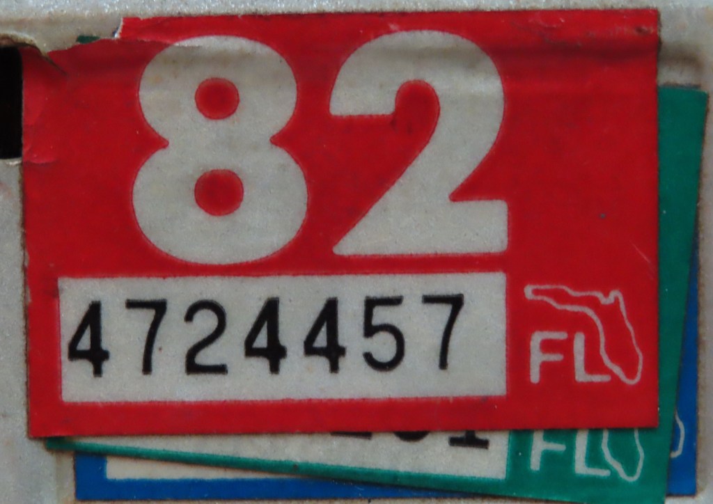
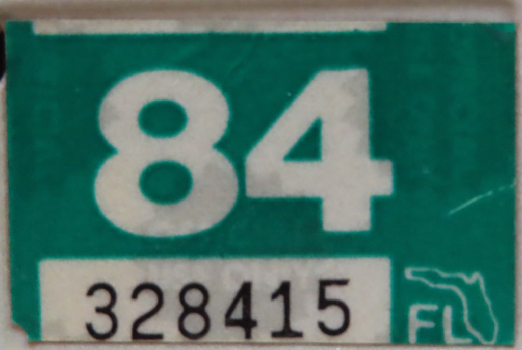
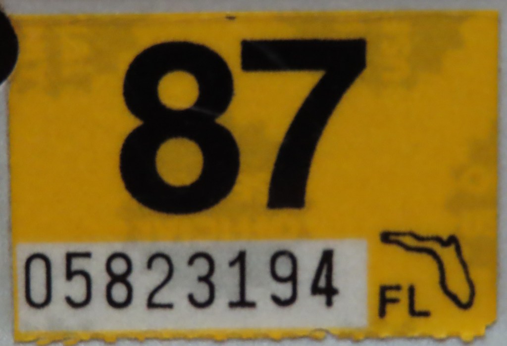
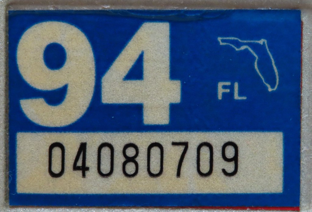
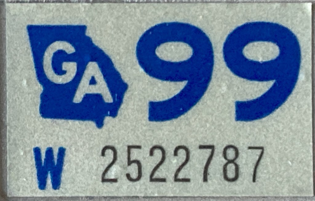
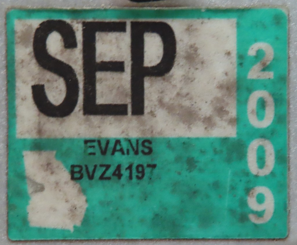
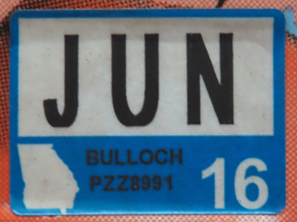
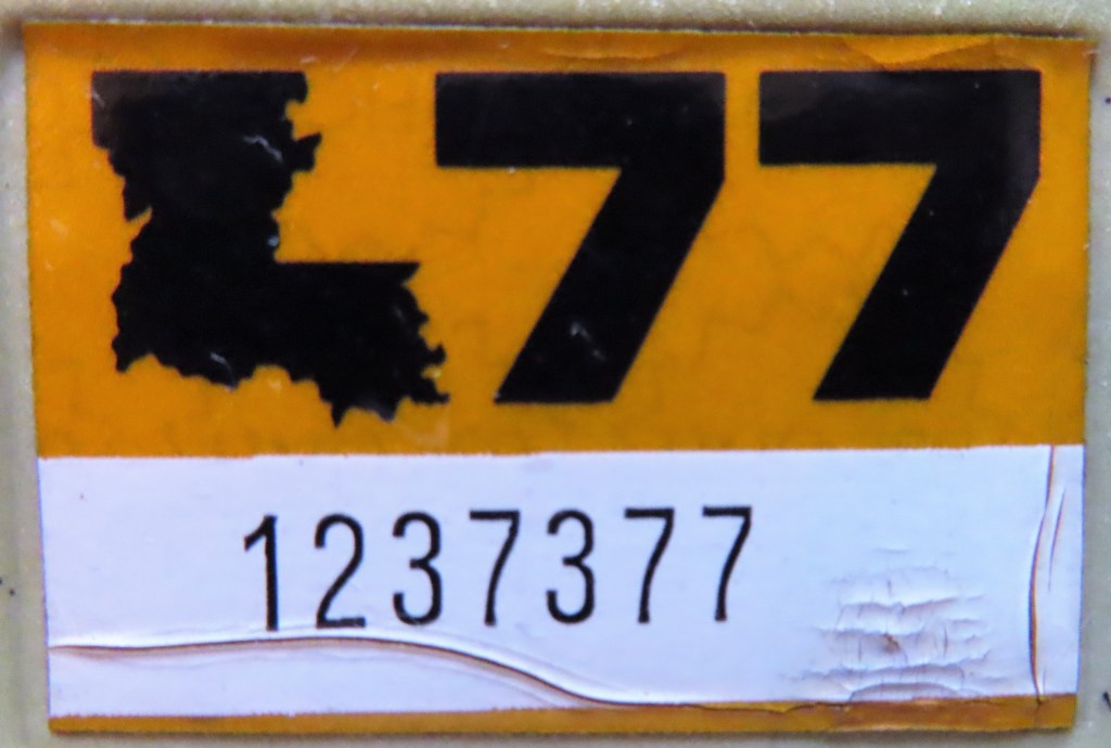
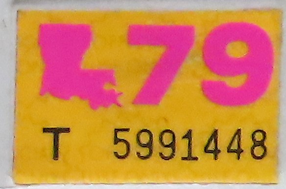
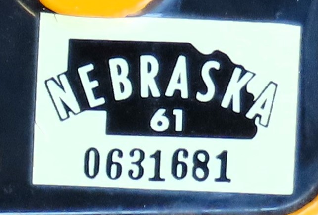
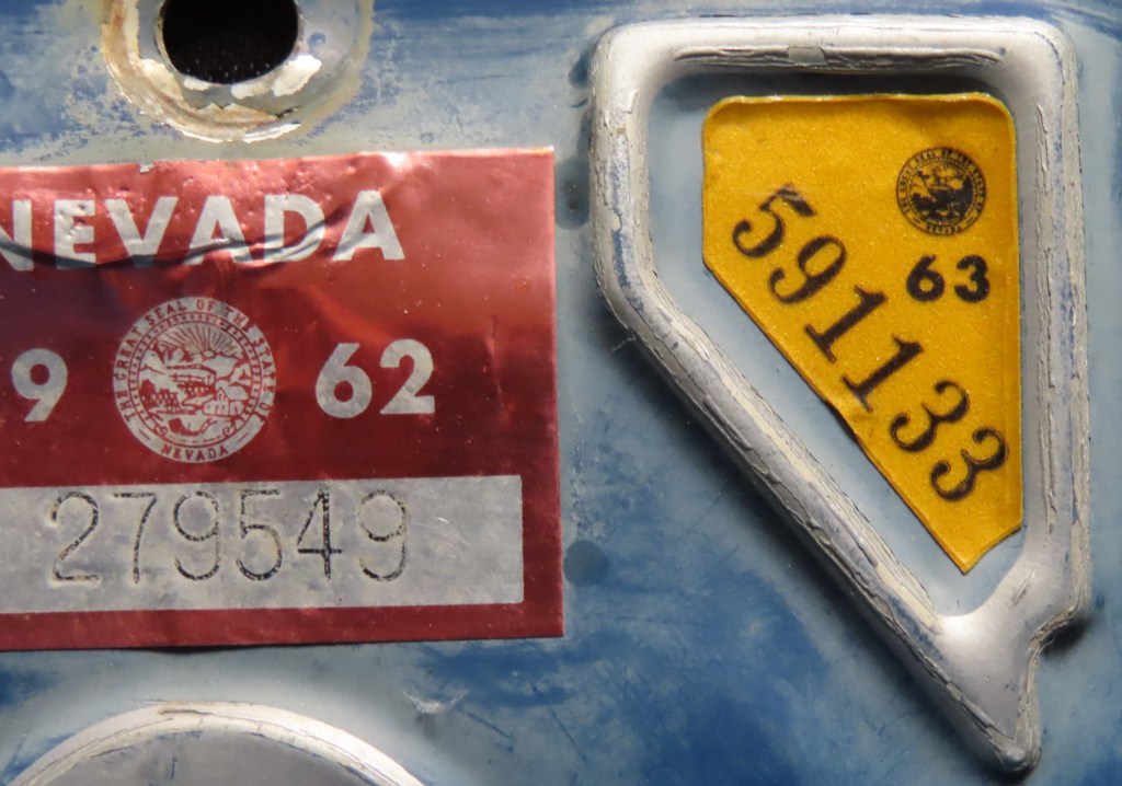
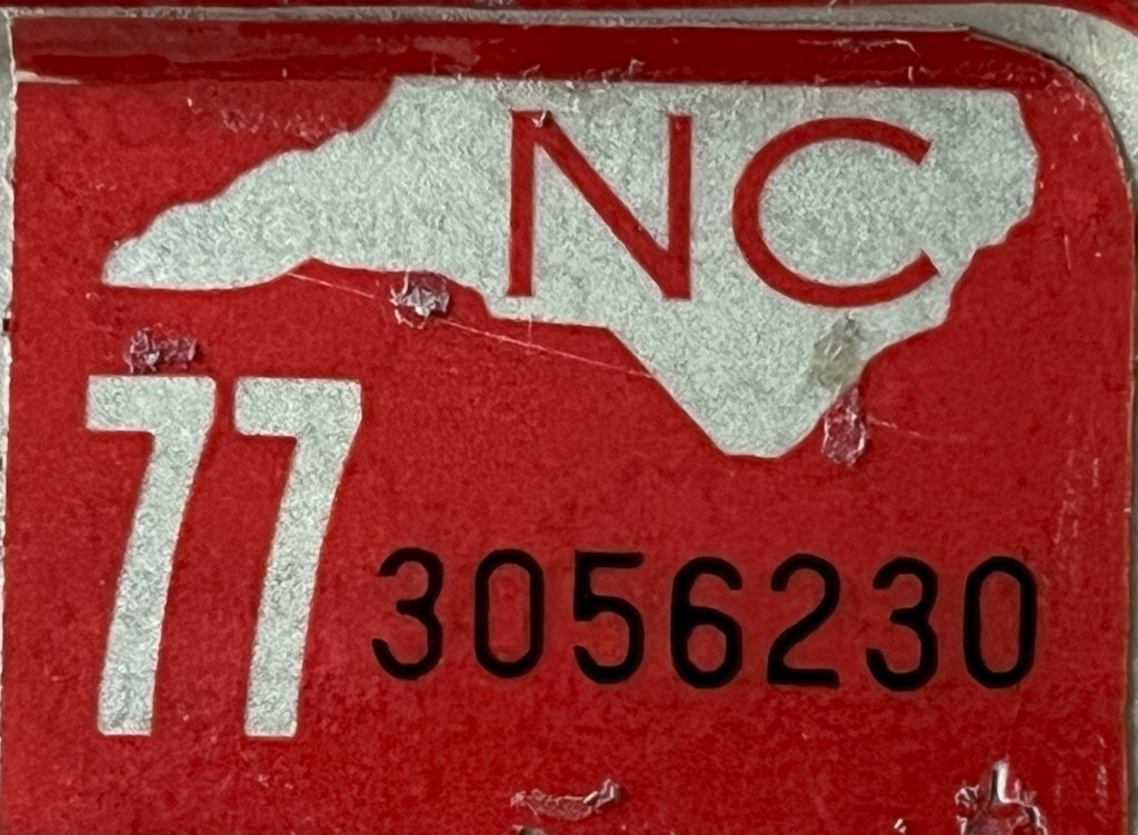
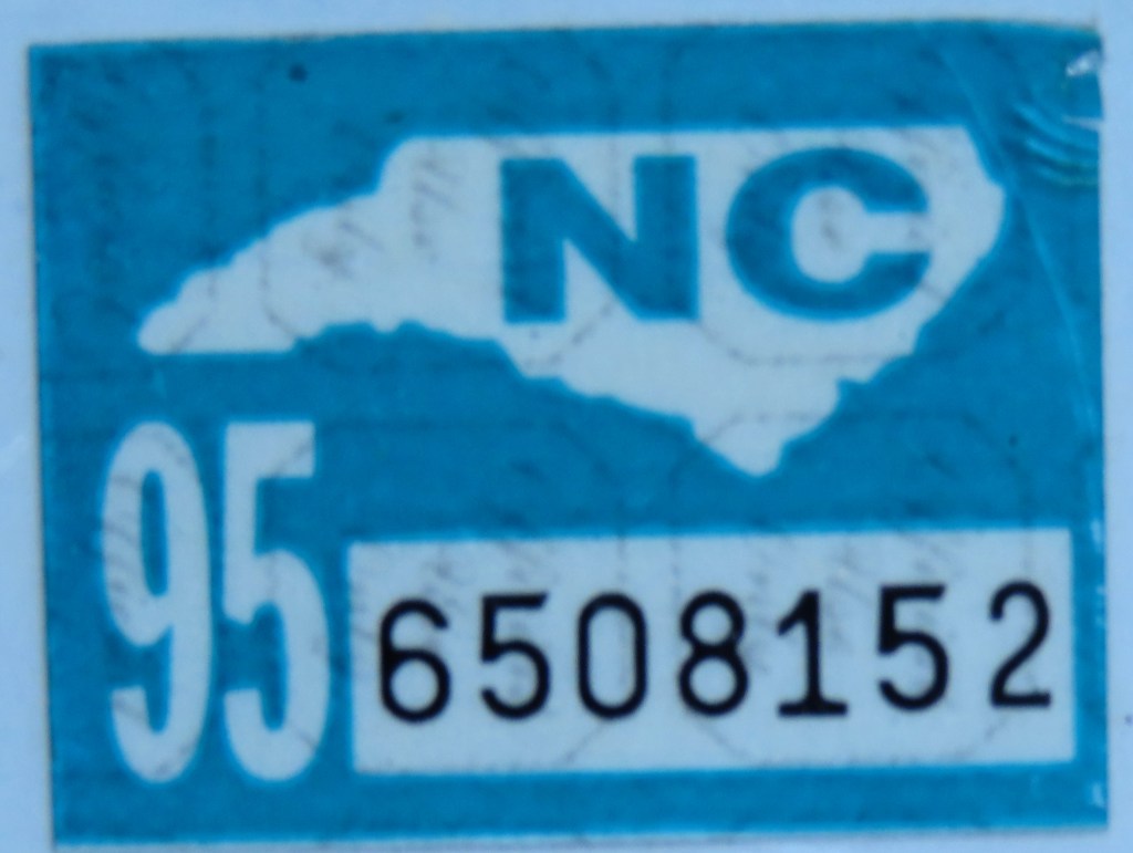
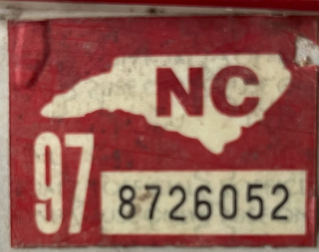
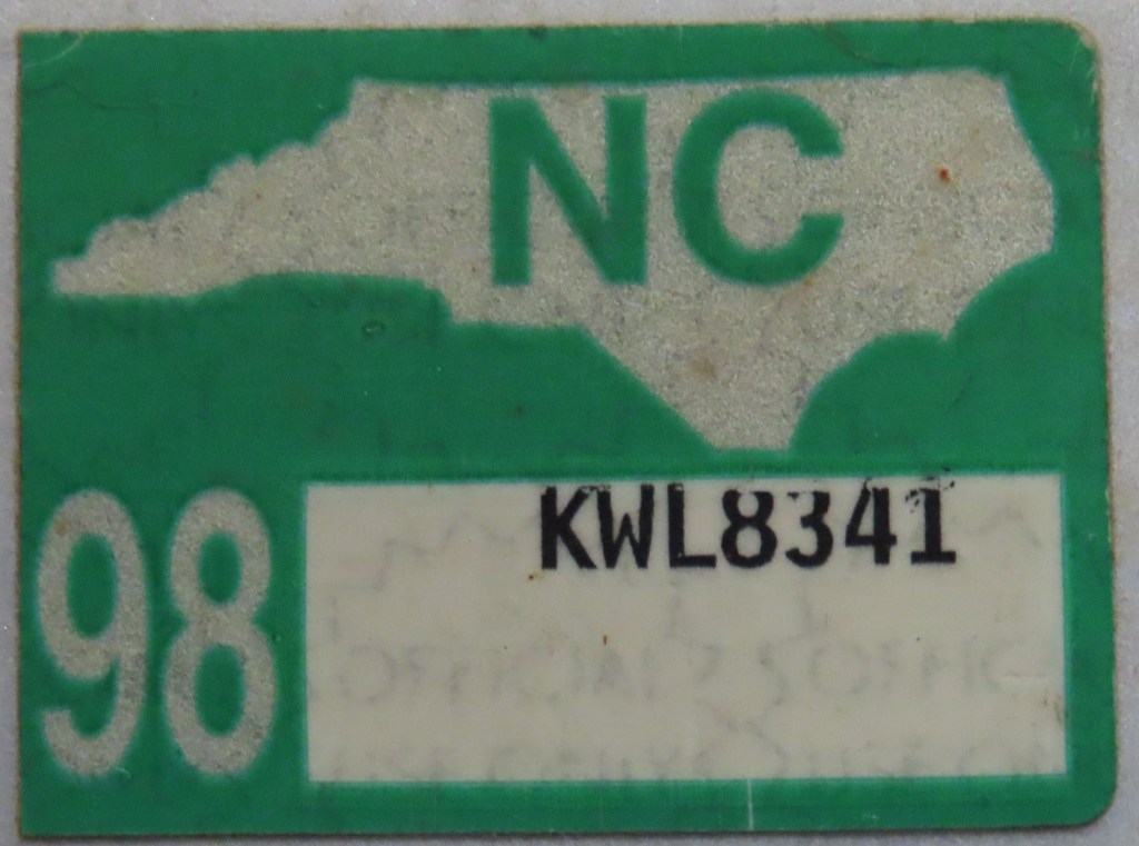
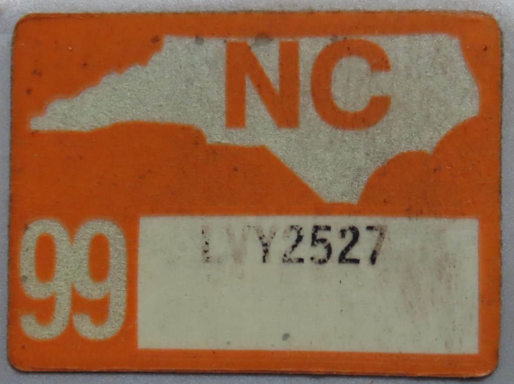
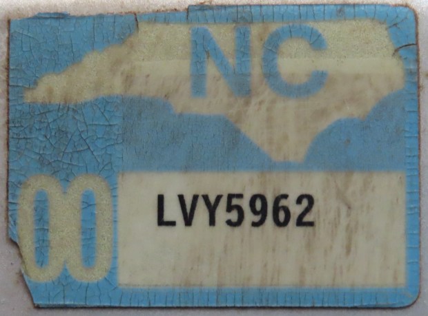
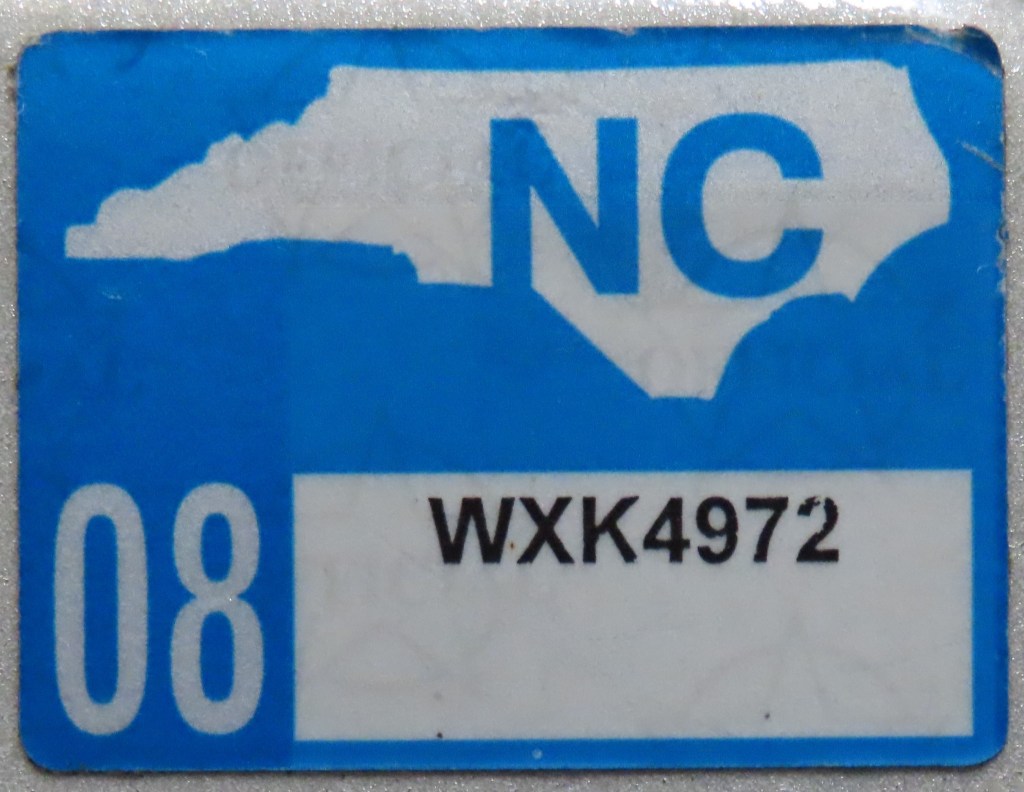
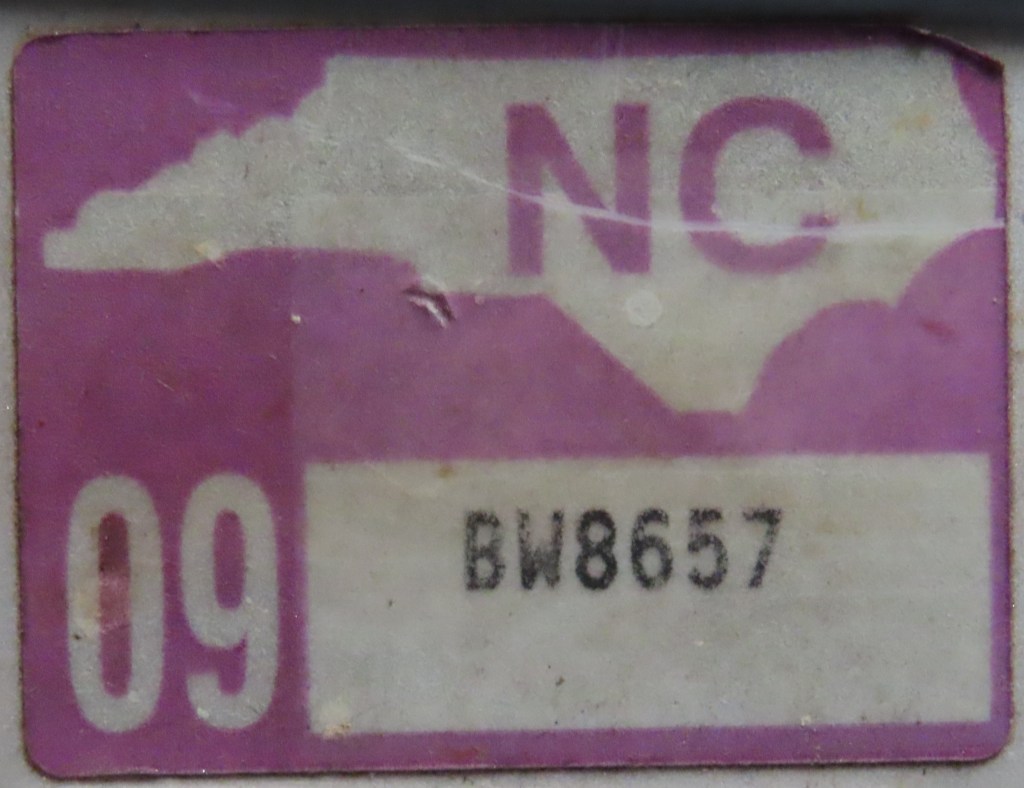
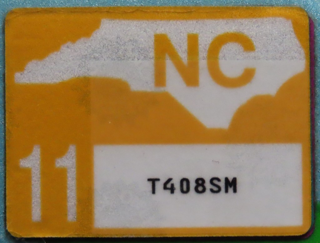
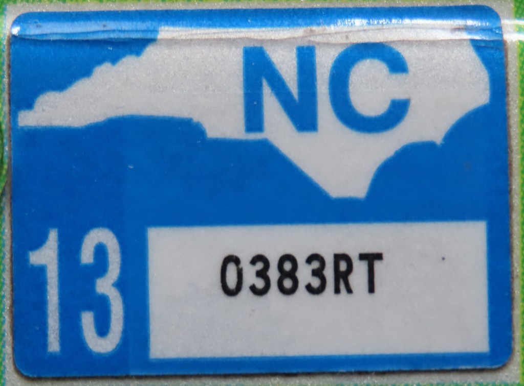
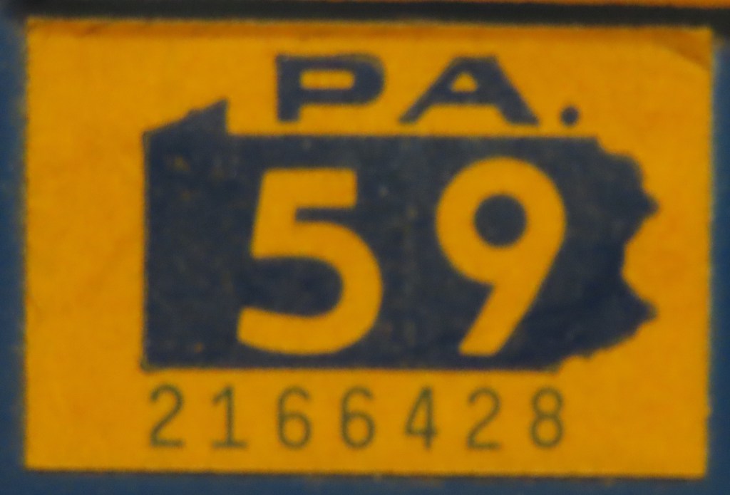
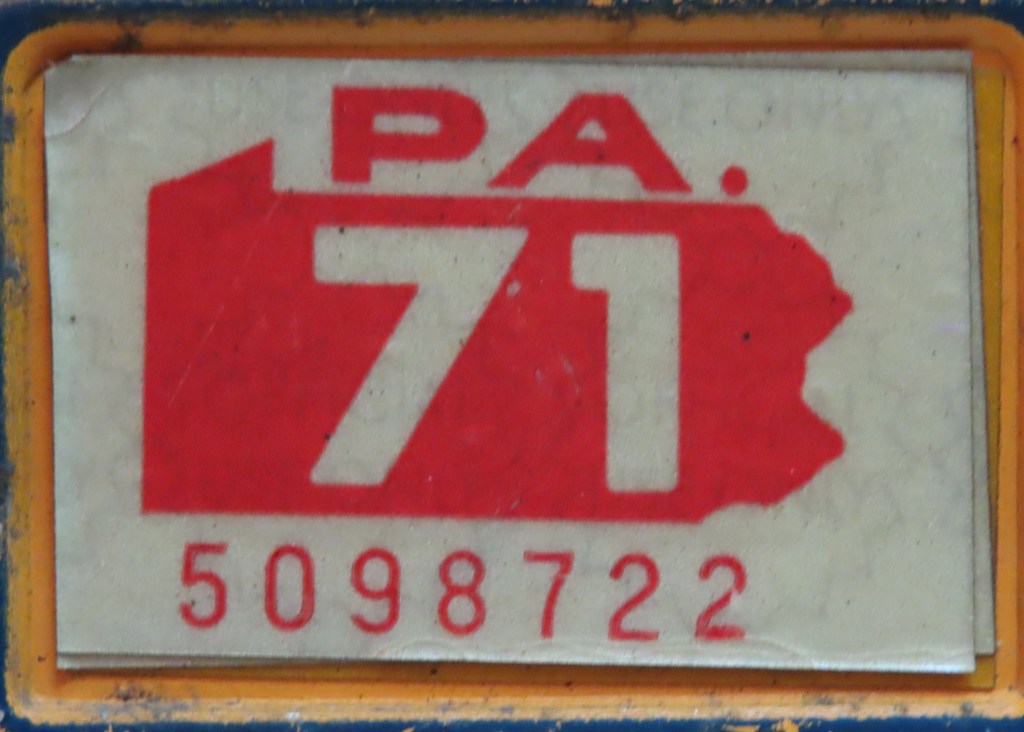
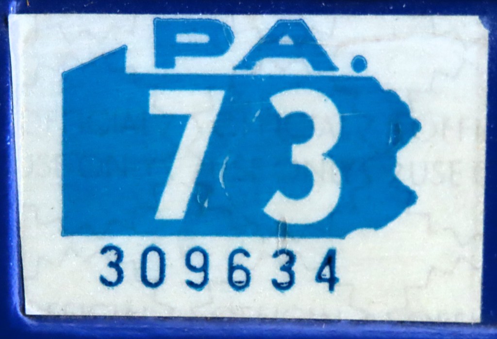
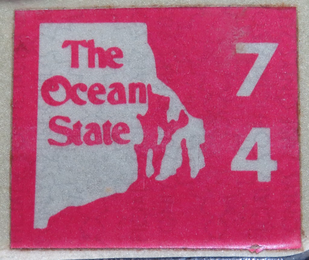
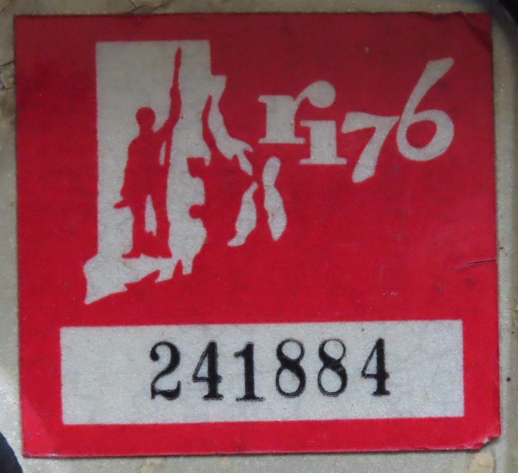
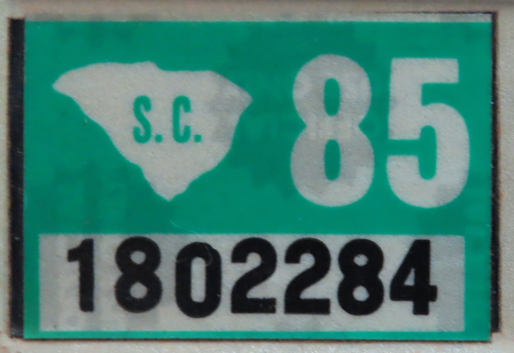
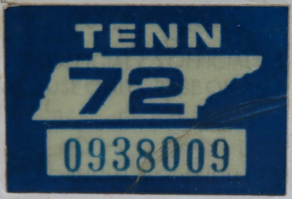
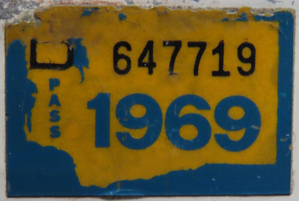
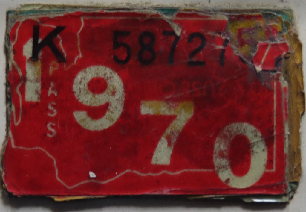
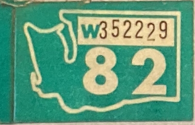
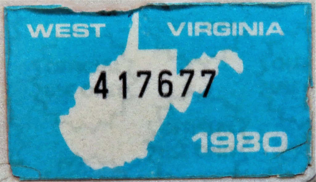
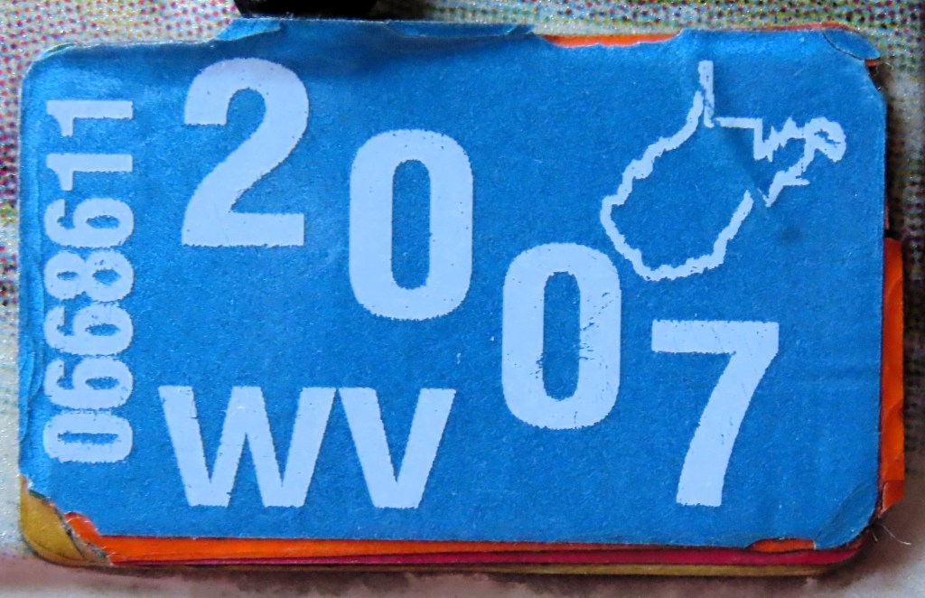
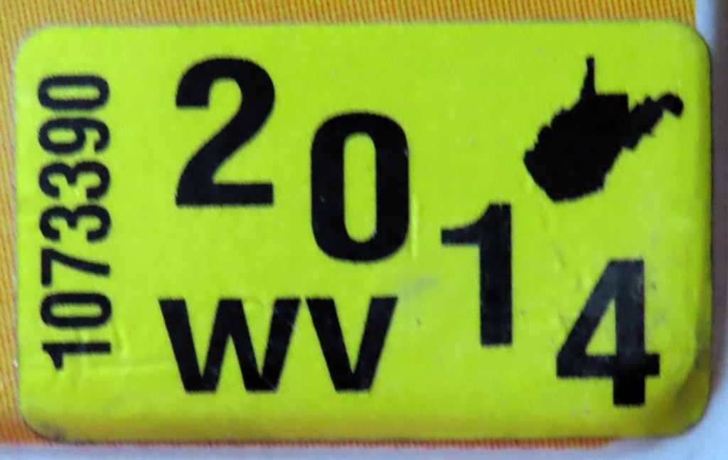
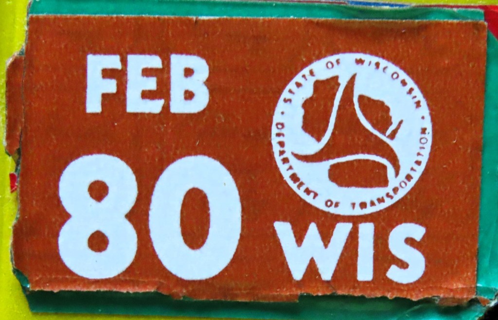
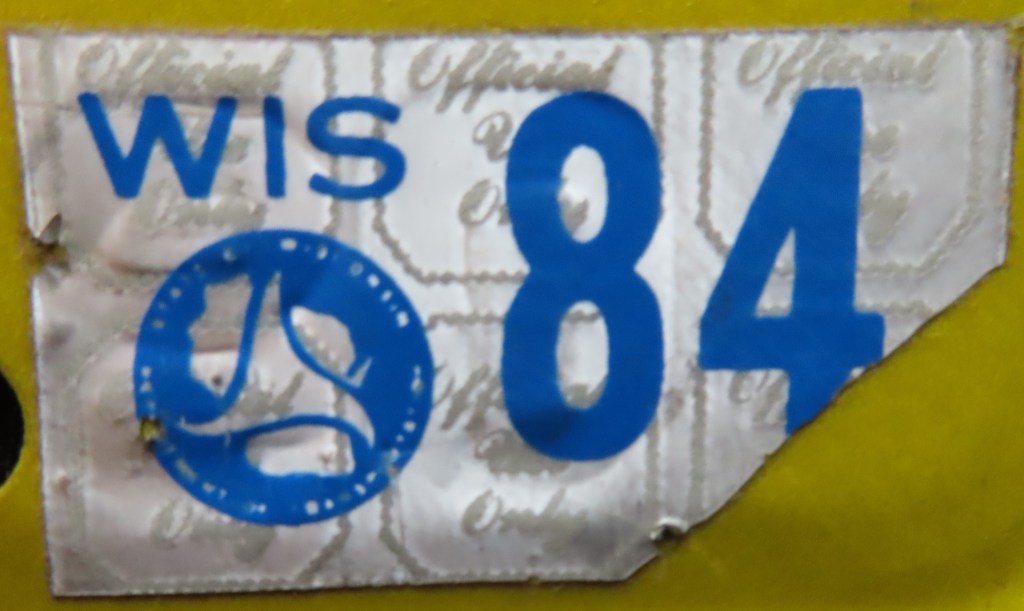
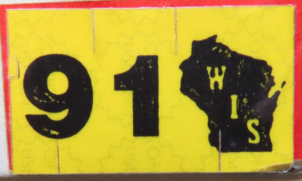
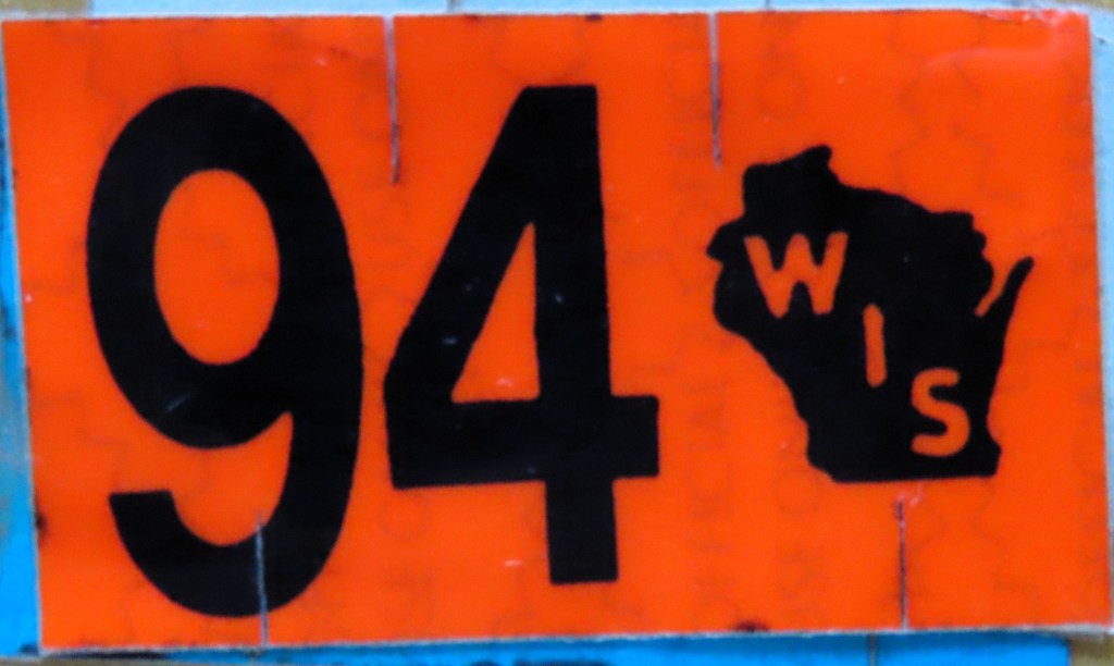
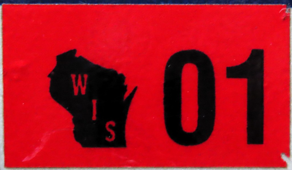
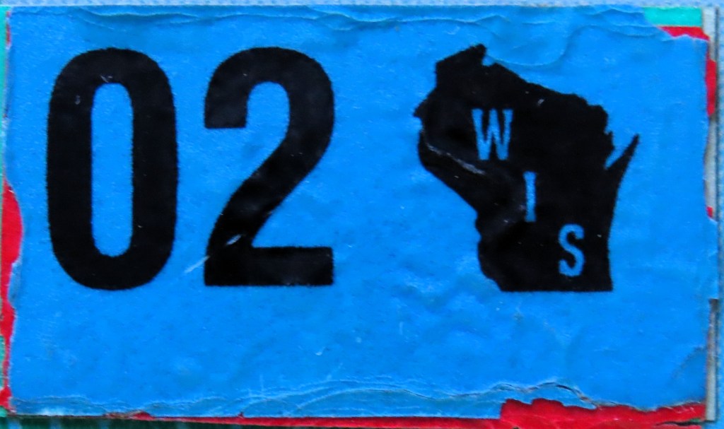
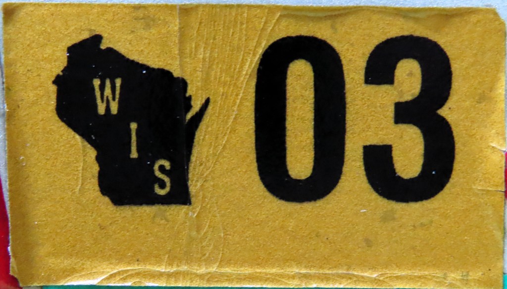
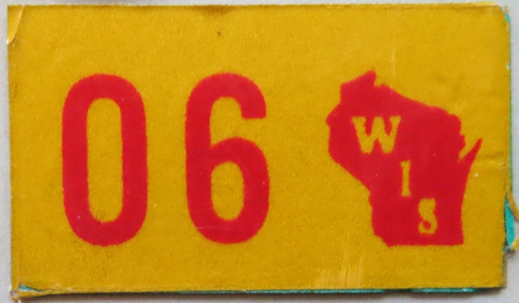
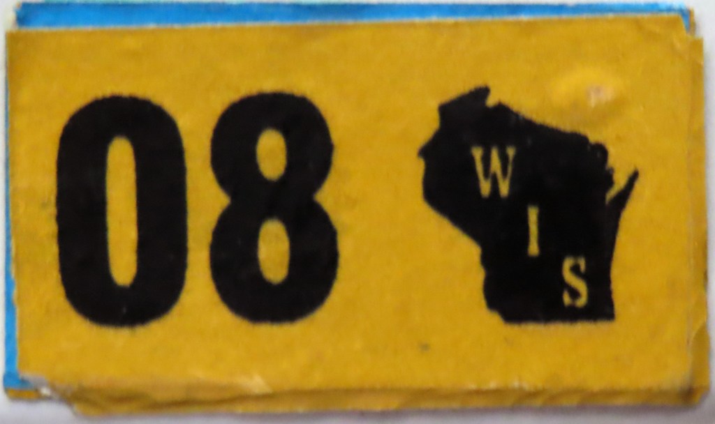
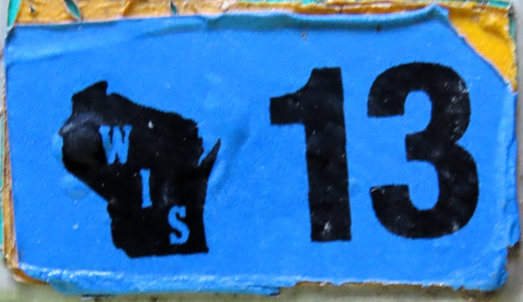
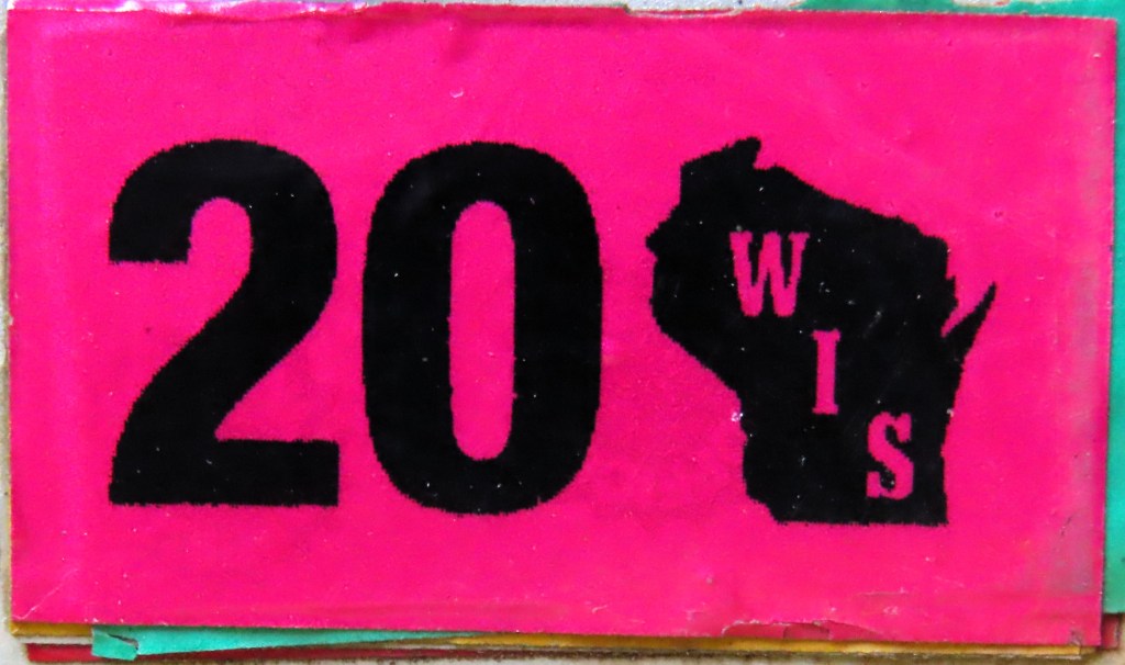
Some states have included a state map on registration stickers, as shown above. Florida, Georgia, North Carolina, South Carolina, and Wisconsin have long streaks of doing so. Several did so in the 1970s: Tennessee from 1969 through 1981; Rhode Island in ’74 and ’76 during a six-year stretch of graphic stickers; Washington from ’69 through ’72, and again in ’82, bookending a 14-year stretch of graphic stickers; and Kentucky in ’76 and then on each of the six years of the 1978 base. Arizona included a state map on the stickers from 1957 through 1968, Louisiana 1977 through 1981, Maryland from 1982 through 1986, and West Virginia from 1978 to 1986 and from 2000 to present. Finally there’s the case of the 1963 Nevada. The state had an outline on the upper right corner of the 1961 base, which was used for 1962, 1963, and 1964 as well. But only in ’63 did it issue a sticker cut in the shape so that it could fit perfectly in the state outline on the plate.